
Great Divide Trail Association
GoTrekkers - Great Divide Trail Official Map (Full Set)
GoTrekkers - Great Divide Trail Official Map (Full Set)
Couldn't load pickup availability
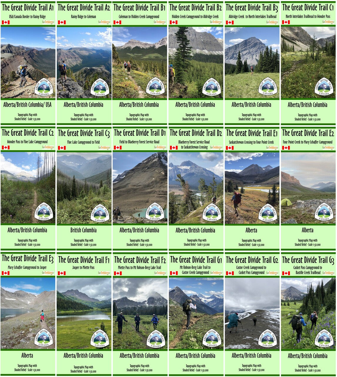
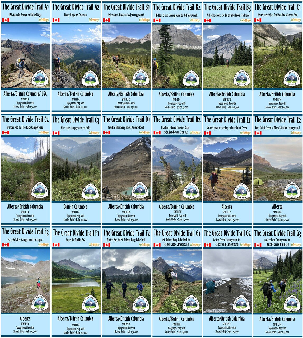
The Great Divide Trail from Canada/USA Border to Bastille Creek Trailhead 18 map set
The GDT maps are at a scale of 1:50,000 with shaded relief, contour intervals of 25m and 100m, and a UTM grid. The maps are rotated to be as narrow as possible to conserve on weight while showing the GDT’s main route and alternates. They also show many of the access trails. The maps are long and narrow with the average dimensions being 13 x 41.5 inches.
The maps include campgrounds and trailheads with locations in decimal degrees and UTM grid reference.
The maps include campgrounds, convenience stores, hostels, huts, lodges, post offices, resorts, resupply locations, shelters, stores that give a GDTA member discount, and visitor information centers.
All trails have Trail Distances to the nearest 100 meters, measured between the various icons (campgrounds, trailheads, distance markers, trail junctions, hostel, hut or shelters, etc.)
Areas that lack water sources are labeled.
Specs:
- Paper:
- Maps are printed on paper and come folded in a protective plastic sleeve. Each sleeve weighs 9g
- Map Set Weight (without the sleeves): 631g
- Waterproof:
- Maps are printed on synthetic/waterproof paper and come folded in a protective plastic sleeve. Each sleeve weighs 9g
- Map Set Weight (without the sleeves): 724g
For every synthetic/waterproof map set ordered, $30 is donated back to the Great Divide Trail Association